
Richmond Neighbors: Block Sources
A block has several public-record layers. The City Parcel Mapper fixes the physical location, then the parcel ID and legal description help keep an address tied to the same lot when street names, numbers, or postal labels differ. A recorded instrument can identify parties to a dated transfer, but it is ownership evidence rather than proof of occupancy. Historic directories, Sanborn sheets, and local collections are useful when the question is about an earlier block. Civic-group material is a community lead, not a roster of households.
| Source | What It Shows About a Block | Access |
|---|---|---|
| City Parcel Mapper | Address or intersection result, parcel geometry, zoning and planning links | City interactive viewer |
| Assessor and GIS records | Primary address, parcel identifier, assessment context, splits and map timing | Official City pages and current linked search route |
| Circuit Court land records | Recorded parties, legal descriptions, plats, dates, book or instrument references | Clerk, written request, or approved remote access |
| Civic Groups inventory | Organization name, stated area, supplied contact and community-map lead | City orientation inventory |
| Directories and Sanborn maps | Dated address listings, cross streets, building context and neighborhood change | Library and archival collections |
Use the result type as the limit. A map pin establishes a spatial relationship. A deed records a transaction. A directory entry records what was printed for that year. Keeping those distinctions prevents a block search from turning a dated reference into a claim about a current household.
Map Richmond Neighbor Parcels
The City’s interactive mapping tools provide the practical starting point for nearby parcels. Parcel Mapper accepts an address or intersection search. Open the information box only after clicking inside the parcel boundary. A click on a right-of-way or outside a parcel can return no result, which is a map result rather than evidence that the address is absent.
- Enter the address or a nearby intersection and confirm that the result is inside Richmond City rather than a neighboring locality.
- Click the subject parcel and preserve its parcel ID, the displayed address form, geometry, and retrieval date.
- Click each adjoining parcel separately. Record parcel identifiers and boundaries before seeking a recorded instrument for a dated party name.
- Use the Circuit Court Clerk’s deed index or records room for the instrument trail. For a whole named street rather than an immediate block, use the Richmond street directory approach.
The map does not calculate a household list or certify a radius. It gives a careful spatial sequence: address, parcel, adjoining parcels, then dated public records. For historic Manchester or property south of the James, keep the Division II and historic locality wording with the parcel notes.
The City Assessor’s GIS and mapping guidance explains the context behind those parcel relationships, including changes caused by splits, mergers, subdivisions, road or alley closings, and CAMA update timing.
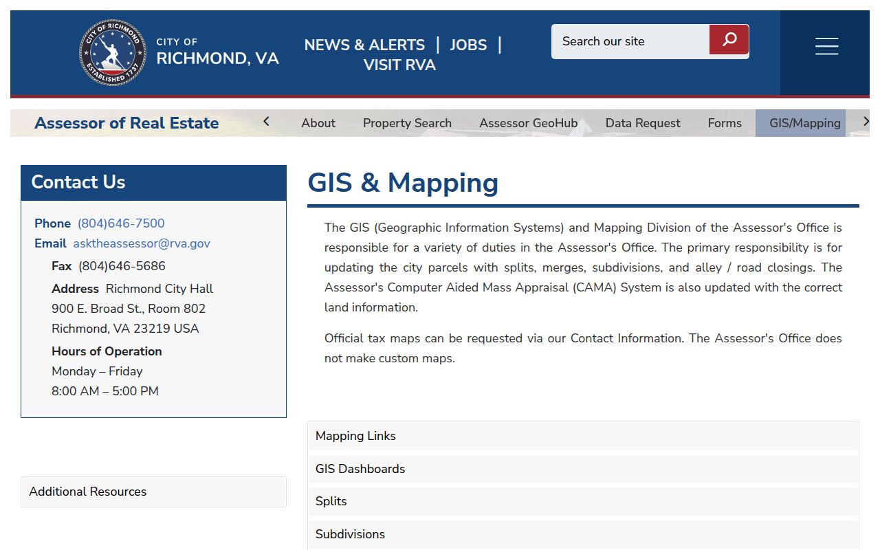
A deed-recorded split can appear in the assessment system later, so preserve the map date and the deed or plat reference when parcel lines do not yet match.
Richmond Neighbors and Address Names
Richmond addresses change across street renamings, ward boundaries, annexations, historic Manchester, and postal geography. The assessor keeps one primary property address, while utility or emergency data can use another address form. That is why the original search string belongs in the research note beside the normalized version, ZIP, city, and locality fields.
- Parcel ID
- A Richmond identifier or map reference that helps connect the map, assessment material, deed description, and later searches.
- Primary address
- The address maintained for the assessment record. It may not match every historic, postal, utility, or emergency-service address.
- Right-of-way
- Public street or alley area between parcels. Clicking it in Parcel Mapper may produce no parcel information box.
- Legal description
- The lot, plat, subdivision, or descriptive language in a recorded instrument, often more durable than a street number.
For an old address, test the printed form first. Then try direction abbreviations or street-type variants if the portal allows them. Match historic Manchester references to the south-of-James record division. A ZIP is only a filter; an official parcel result resolves the jurisdiction.
Richmond Neighbor Civic Leads
The City’s Civic Groups page is an orientation inventory with an interactive map and Richmond’s Guide to Neighborhood Organization. It can identify a community organization connected with an area. It is not a complete association registry. Group-supplied contacts may be outdated or inactive, and the City page does not publish membership rolls.
Church Hill and Jackson Ward
Church Hill Association of RVA and Historic Jackson Ward are geographic and community leads. Confirm any current contact through the City inventory.
The Fan and Oregon Hill
Fan District Association and Oregon Hill can help frame local history, public events, or organizational material without identifying members.
Northside and Southside
Battery Park Civic, North Barton Heights, Blackwell Historic, Forest Hill Neighborhood, and Southern Barton Heights are inventory examples, not resident lists.
Community names overlap. Jackson Ward, Church Hill, Shockoe, the Fan, Museum District, Oregon Hill, Scott’s Addition, Northside, Blackwell, Forest Hill, Barton Heights, Southside, and historic Manchester have geographic and historical meanings that do not always trace a formal boundary.
The civic-group inventory is shown on the City civic-groups page.
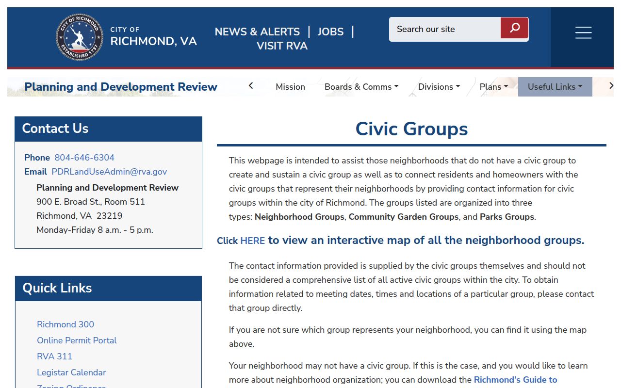
Use the map and guide to identify a place-based lead, then verify whether a listed organization or contact is still active before relying on it.
Richmond Neighbors Across Districts
Neighborhood context often comes from public activity rather than a household source. City Council and Legistar material can show a petition, project, district, applicant, or speaker. Zoning and historic-district layers can explain why a block is described differently across records. Those materials document public civic participation or land-use context, not a membership list.
Libraries and archives add another layer. Richmond Public Library’s Richmond Room brings directories, yearbooks, newspapers, maps, ephemera, City Archives material, and local organization records together. VCU Libraries, church and cemetery sources, and newspapers can place an address or organization in a dated community setting. Check the source date and preserve the exact wording of a neighborhood label.
Richmond Neighbor Voter Limits
Virginia’s Citizen Portal is for an individual to check that person’s own registration, polling place, districts, absentee status, and voting history. It asks for identifying values and a certification. It is not a public name search. Do not save or publish the date-of-birth or Social Security values used for that self-service check.
Virginia Code §§24.2-405 and 24.2-406 restrict voter-list products and lists of people who voted. They are available only to listed requester categories and purposes, and recipients cannot put the data online or provide it for a searchable database. Even records available for inspection exclude sensitive fields, including Social Security information, day and month of birth, and protected addresses.
Richmond Neighborhood Layers and Maps
Sanborn maps provide block context that a current parcel card cannot. They can show a structure’s footprint, materials, use, adjoining structures, streets, and neighborhood change. Richmond and Manchester sheets span 1886, 1895, 1905, 1908, 1919, 1924–25, and 1952. They are especially helpful when a lot was subdivided or a building later disappeared.
Early directory entries add a local caution. Richmond’s 1819 directory sometimes described a location by landmark or cross street rather than a modern number. By 1879–80, the street section became more systematic. Compare the original address language to a period map before assigning it to a current parcel.
Official and Commercial Block Sources
Source type matters when reviewing information about Richmond neighbors. Official and repository sources identify their custodian, date, fields, and access limits. Commercial lookup services may combine material from many places, yet may not show how a record was selected, updated, or matched to a particular parcel.
| Source category | Best use | Key limit |
|---|---|---|
| Official parcel, map, and deed sources | Verify a parcel relationship and a dated recorded transaction | Each record type has its own coverage and update timing |
| Library and archive collections | Trace historic street, block, and community context | Directory presence is dated evidence, not continuous occupancy |
| Commercial neighborhood lookup services | Generate questions to verify through a custodian | Matching, freshness, and source path may be unclear |
Start with the official parcel result or the repository scan, and retain the URL and retrieval date. If the source cannot show its date, custodian, or record type, it should not carry a conclusion about a person or a household.
Richmond Neighbor Privacy Limits
Publicly viewable does not mean appropriate to republish. Do not publish Social Security numbers, full dates of birth, driver-record identifiers, medical details, financial-account data, or unnecessary identity-document information. Treat juvenile, sealed, expunged, victim, witness, protective-order, family, and protected-person material as restricted even when a result suggests a related name.
Lawful use. Use a block search for personal history, reconnecting, civic context, or careful records navigation. Do not use any result to stalk, harass, intimidate, or harm a person.
Virginia’s Address Confidentiality Program provides substitute addressing and mail forwarding for qualifying people. Never attempt to identify the actual address behind a substitute address. Motor-vehicle information is also restricted by the federal Driver’s Privacy Protection Act, 18 U.S.C. §2721, and is not a general route for finding neighbors.
Keep a small retrieval log with the URL, date, source, search concept, result status, and any stated limitation. That record helps separate a verified parcel relationship from an incomplete or unavailable result.