
Walking a Richmond Street Record
A Richmond street search begins with a location, not a guessed occupant. The City Assessor and Parcel Mapper provide the current spatial anchor. The Circuit Clerk can then supply a recorded instrument trail. Historic directories, maps, and census material add dated household evidence. Each source answers a different question, and none should be stretched beyond the record’s date or purpose.
Make a small log before moving from one source to the next. Preserve the search string, the original address, parcel identifier, result date, and any boundary warning. A street may cross neighborhoods, a City line, or a historic division. The best Richmond street directory result is a series of matched records, not a single untested name.
- Search the address or intersection in the Richmond Parcel Mapper and verify that the point falls inside a parcel in Richmond City.
- Use the property record to preserve the parcel ID, primary address, and visible assessment context.
- Search the Circuit Clerk’s deed route with the parties, date, division, or book and page found in the property trail.
- Compare a dated street section in a directory with a census, Sanborn sheet, newspaper, permit, or tax source from the same era.
- When a record is absent, note the historic address form, Division II or Manchester possibility, and any fire-loss or index limitation before expanding the search.
Richmond Street Directory Fields
The legacy property search records the most detailed published field inventory for a Richmond address query. Its address tab used building number, an optional range, direction, street name, and street type. It also supported Parcel ID and an Other Information tab with a property ZIP filter, assessment area, census tract, subdivision, transfer, and improvement filters. The City says the legacy system now redirects toward an upgraded replacement, so do not assume the replacement presents every old control.
| Richmond field | Type | Use on a street search | Limit |
|---|---|---|---|
| Building number and range | Address input | Find a particular parcel or a supported address range | Do not merge units into one household |
| Direction, street, and type | Address input | Test original and normalized street forms | Over-complete punctuation can fail in City permit searches |
| Parcel ID | Identifier | Carry one stable key to map and land research | Splits and merges can change the relationship |
| Property ZIP | Legacy filter | Narrow a broad address search | Never proof of City jurisdiction |
A Richmond legacy property-search capture documents the search controls used before the migration.
The form is useful for understanding which address parts should be saved when the City’s current search routing changes.
- Situs address
- The physical property address associated with a parcel record.
- Parcel ID
- The stable assessment or map identifier used to connect property sources.
- Plat
- A recorded map that can show lots, streets, easements, and subdivision lines.
- Criss-cross directory
- A reverse directory arranged by street and number rather than only by name.
Mapping a Richmond Street
The City’s Parcel Mapper is the spatial check for a Richmond street directory. It accepts an address or intersection. Clicking inside a parcel opens an information box and related planning or zoning links. A point on a right-of-way or outside a parcel can return no parcel at all. That result is a map clue, not a reason to assign the address to the nearest property.
The Richmond interactive mapping tools page also routes to Zoning Parcel Mapper and Development Mapper. Layers can include parcels, zoning, historic districts, BZA cases, special-use permits, plans of development, overlays, priority streets, and street-oriented commercial frontages. They help explain a changing block, but none names every person connected to it.
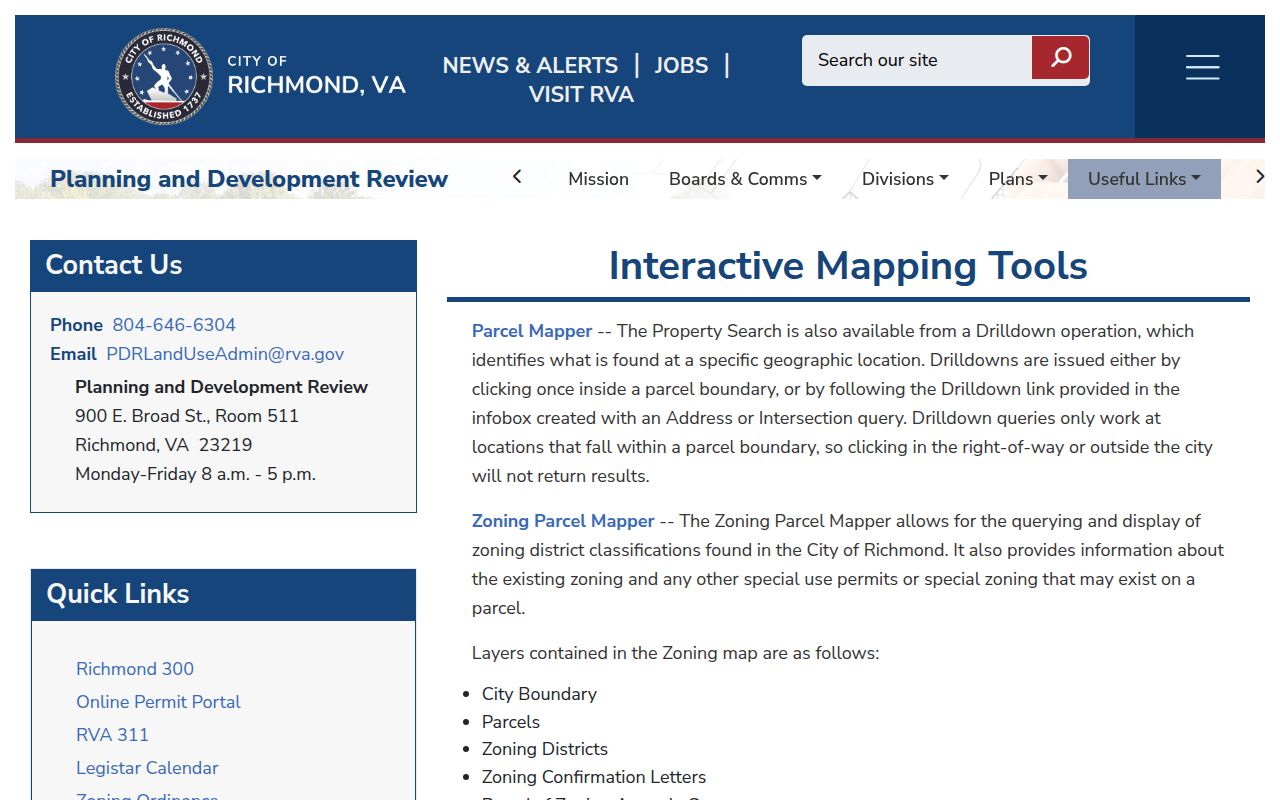
The official mapping entry point makes it easier to distinguish a parcel result from a nearby road, alley, or neighboring locality.
For a later project, Development Mapper records projects over $1.5 million since 2016 with pipeline, under-construction, and completed statuses. Treat that as public project context. It does not prove that a named person lived along the street.
Richmond Street Name Changes
Richmond addresses require normalization across older street names, house numbering, wards, annexations, and historic Manchester. The 1819 directory often used landmarks or cross-streets instead of modern house numbers. From 1879–80 onward, the street section became alphabetical by street and numerical by address, making it much better for an address-by-address search. Preserve the printed form first, then record a normalized form beside it.
The Assessor maintains one primary property address even though the City’s Central Address Database can hold more than one address for utility and emergency use. Parcel splits, merges, subdivisions, road or alley closings, and CAMA timing can also create a temporary mismatch between a recorded deed and the assessment display. A deed-recorded split may not reach the assessment system until the following year.
Note: For a south-of-James address, retain both the current locality and historic Manchester or Division II wording when searching the land and directory trail.
Richmond Records by Street
Address-keyed sources have different strengths. The Assessor and Parcel Mapper establish the parcel and mapped location. Deeds and plats establish recorded property relationships. Permits and code records track a project or public enforcement action. A directory street section supplies an entry for a printed year. Voter sources are not an open street-search tool, and a status lookup is intended for the voter’s own record.
| Record set | Richmond keeper | Street-level clue | Access route |
|---|---|---|---|
| Property and assessment record | City Assessor | Parcel, primary address, assessment context | City portal, phone, or office |
| Parcel Mapper | City Planning and Development Review | Parcel geometry, zoning, planning links, boundary check | Public map viewer |
| Recorded land instrument | Richmond Circuit Court Clerk | Parties, instrument, date, legal description, plat reference | Subscriber route, counter, or written request |
| Permit or code item | Richmond PDR and RVA311 | Address, project or issue, status, date | Portal, walk-in, or record request |
| Historical street entry | Richmond Room and other archives | Dated household or business listing by street | On-site collections and archive databases |
Use the parcel identifier to tie an assessment result to a deed or permit. Use a street name to find the historical directory section. Keep the evidence separated: a grantor, permit contact, and directory entry may all be different people with different connections to the same address.
Richmond Street Deed Chains
The Richmond Circuit Court Clerk holds deeds, deeds of trust, plats, wills and estates, and related instruments at the John Marshall Courts Building. Richmond land records are digitized back to 1782. Division I reaches north of the James, while Division II covers the south side, including old Manchester, back to 1874. Older searchable index ranges and later imaging coverage differ by division, so record the current site’s stated coverage before assuming an absence is meaningful.
The official Deed Search and Secure Remote Access pages provide the online entry. In-person and written requests remain available. A request should name the parties, instrument type, date range, book and page or instrument number, and whether certification is needed. Research materials list copies at $0.50 per page, with $2 added for a certified copy.
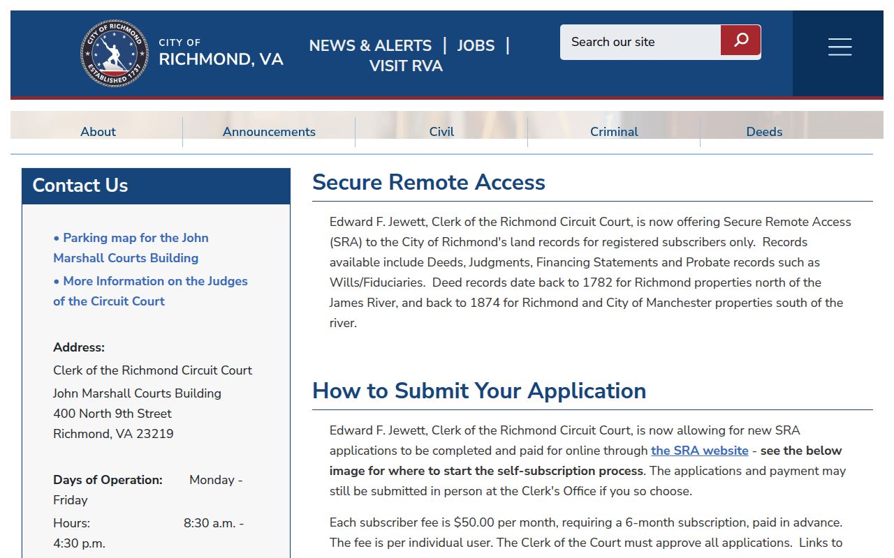
The remote-access notice is a useful reminder that index access, image access, counter research, and written copies are separate channels.
Richmond Street Record Eras
Richmond street records need an era-specific plan. For 1782 through 1865, begin with Circuit land books, early City material, and Library of Virginia sources, expecting descriptive addresses, wards, landmarks, and fire-related losses. For 1819 through 1844, the Maddox directory, deeds, tax material, and newspapers can supply a name or location even when no modern parcel exists. Each Richmond search should retain the address form used by the source.
For 1845 through 1879, combine directories, deeds, Chancery causes, tax records, and City maps. Richmond’s 1865 fire destroyed many wills and deed books, so an unlocated volume is not evidence that nothing occurred. From 1880 through 1935, Sanborn maps, permits, census schedules, and newspapers add building and household context. From 1936 forward, use the Assessor, Parcel Mapper, Circuit records, permits, maps, directories, Council material, and a focused FOIA request when a City record is not online.
Former Manchester is especially important for a Richmond street south of the James. Search Division II, preserve the historic locality, and compare the period map with the current parcel map. A clear negative result says which index, book, map sheet, or time span was checked. It does not convert a gap in surviving Richmond records into a conclusion about a person or property.
Richmond Street Directory Years
For a past household, Richmond’s city directories are the strongest street-by-street layer. The Richmond Room holds directories from 1819 to the present, while the Virginia Museum of History & Culture property guide identifies microfiche and shelf runs. From 1879–80, a street-address section can be read in order by street and number. Pair the directory year with a period map, census, tax record, newspaper, deed, or permit before asserting a household trail.
Early volumes need more patience. Maddox’s 1819 directory may give a landmark, ward, business, or cross-street instead of a number. For the historical shelf and entry abbreviations, use the Richmond city directory collections rather than treating a current parcel page as a replacement for the printed record.
Richmond Street Permit Evidence
Richmond’s Online Permit Portal, Property Maintenance and Code Enforcement, and RVA311 can add a dated address, project type, status, or public enforcement reference to the street trail. Permit searches use number and abbreviated street-name rules in the City guide. Punctuation, a full street type, or an over-complete address can fail, so test a pared-down form when the official portal instructs it.
A permit, code case, or development item is not evidence that a person currently lives there. It can identify a project, a public file, or a responsible-party record. If the public result omits the needed document, ask PDR or the records custodian for the identified permit or case number and a specific date range.
Richmond Street ZIP Checks
A Richmond postal city or ZIP is not a legal-locality result. ZIPs 23226, 23227, 23230, 23231, 23234, and 23235 can be shared with Henrico or Chesterfield context. Check the Parcel Mapper boundary before using a City assessor, clerk, or PDR record route. A delivery label is useful for narrowing a search but cannot replace a parcel jurisdiction check.
For a ZIP-oriented search, the Richmond ZIP code directory separates USPS delivery lookup, the Virginia geographic layer, Census ZCTAs, and the City boundary check.
Richmond Street Directory Limits
No Richmond street directory can prove who is inside every unit on a block today. Parcel and deed results document property or recorded parties. Directory entries are dated. Utility, motor-vehicle, protected-address, juvenile, and sealed information follow separate privacy rules. A published substitute address under Virginia’s Address Confidentiality Program must never be used to seek an actual location.
Use the narrowest record that answers the question. For family history, house history, estate work, civic context, or a scam check, preserve the evidence and its limits. Do not infer a current occupant from an older entry, a permit contact, a property address, or a ZIP alone.