
Richmond ZIPs by Area
These Richmond physical-area ZIPs provide orientation for Richmond research. They are not a claim that each ZIP is wholly inside Richmond City limits. The Richmond postal-area reference keeps the City-centered and edge areas distinct so a record can be routed to the right Richmond map or custodian. The post-office column identifies the postal label to verify, not a particular service counter. Use an exact Richmond delivery lookup before relying on it for a specific address.
| ZIP | Areas Covered | Post Office | Notes |
|---|---|---|---|
| 23218 | State offices, government, and downtown PO-box-oriented use | Richmond postal label | Special or public-use emphasis; not a household inference |
| 23219 | Downtown, riverfront, and central business area | Richmond postal label | City-centered, but verify the address |
| 23220 | Fan, Carver, Scott’s Addition, and Oregon Hill | Richmond postal label | Central-city residential and commercial context |
| 23221 | Museum District, Carytown, and west-central areas | Richmond postal label | Map edge addresses |
| 23222 | Northside, Battery Park, and Brookland Park area | Richmond postal label | Check the City boundary and parcel |
| 23223 | East End, Church Hill, Shockoe, and east-central areas | Richmond postal label | Historic wards differ from ZIP geography |
| 23224 | Bellemeade, Maury, and South Richmond | Richmond postal label | Verify the parcel |
| 23225 | Forest Hill, Riverview, and south-west city areas | Richmond postal label | Extends toward the boundary |
| 23226 | Western city edge and Westwood area | Richmond postal label | Shared with Henrico |
| 23227 | Northside and Bryan Park edge | Richmond postal label | Shared with Henrico |
| 23230 | Diamond, Arthur Ashe Boulevard, and western edge | Richmond postal label | Shared with Henrico; City addresses exist |
| 23231 | Eastern edge and river or airport-side postal area | Richmond postal label | Shared or adjacent locality context |
| 23234 | South and southwest postal area | Richmond postal label | Shared with Chesterfield |
| 23235 | South and west postal area | Richmond postal label | Shared with Chesterfield |
For a complete Richmond delivery answer, ask USPS about the exact address and keep the returned city, state, ZIP+4, and retrieval date. Then check whether the parcel is in Richmond City, Henrico, Chesterfield, or another locality. A Richmond mailing label and a Richmond City parcel are separate fields.
Richmond ZIP Address Check
The USPS ZIP Code Lookup is the right first tool for a particular Richmond deliverable address. It returns the delivery ZIP, including ZIP+4 where applicable, with city and state information. Do not replace an exact Richmond address check with a neighborhood label or a map approximation. The result answers a postal-routing question, not a Richmond City-jurisdiction or resident question.
The USPS blank address form shows the starting point for a Richmond postal delivery check.
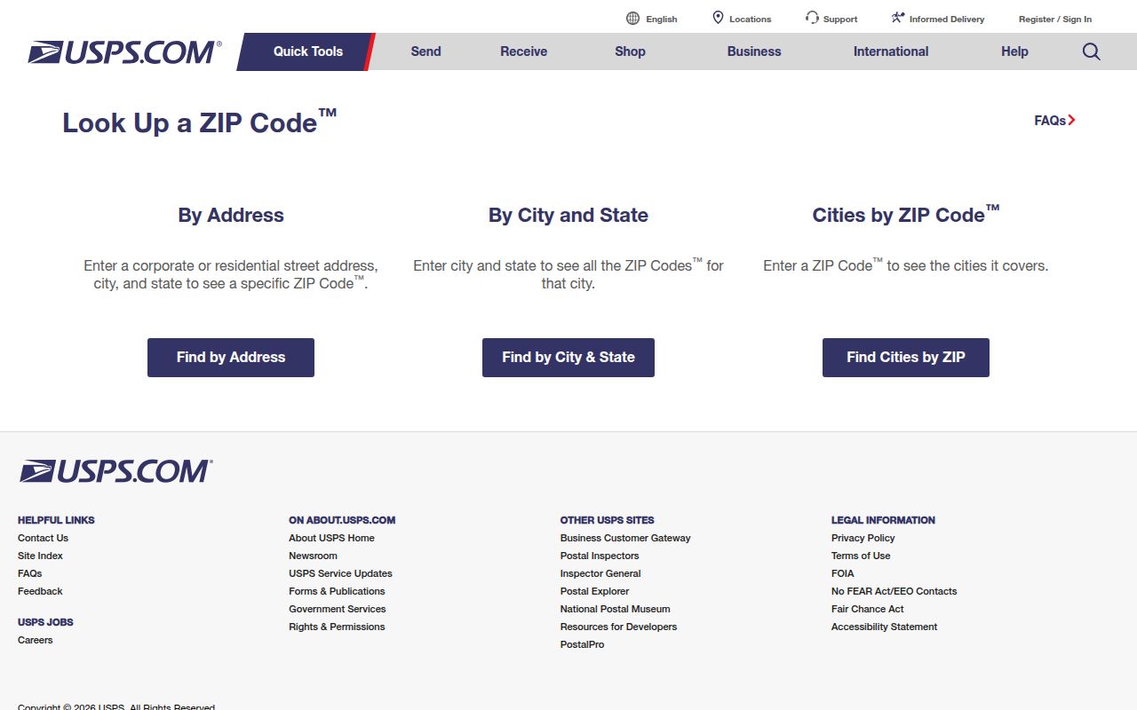
Use the returned delivery information with the date checked, but keep private addresses out of public notes unless their publication is authorized.
A ZIP+4 adds a more specific delivery segment to the five-digit ZIP. It is still postal geography. It does not replace the parcel ID, legal locality, ward, precinct, or dated address needed for a public-records request.
Find Richmond Records by ZIP
ZIP can narrow a Richmond property or map question, but it should not drive a name search. The legacy Richmond City property search documented a Property Zip filter alongside address and parcel search options. That legacy system is being replaced, so its current successor behavior needs a fresh check. Richmond City assessor and map tools remain the sound route for confirming a parcel after a ZIP has narrowed the area.
- Use USPS to verify the exact delivery ZIP and ZIP+4 for the address in hand.
- Query the Virginia geographic layer by ZIP, then retain the returned field values and retrieval date.
- Open the City Parcel Mapper and verify the parcel’s legal locality and map position.
- Use the current City property routing for a parcel or address search; treat the legacy ZIP filter as a documented, migrating feature.
- Once the area is narrowed, use the Richmond Street Directory for address-by-address records.
| Field or input | Type | When to use it | What it returns or supports |
|---|---|---|---|
| Exact delivery address | USPS address entry | Required for a delivery check | ZIP+4, city, state, and a retrieval-date record |
| ZIP_CODE | Virginia FeatureServer field | Filter or query a geographic ZIP feature | ZIP layer identification, not a City-boundary decision |
| PO_NAME and STATE | Virginia FeatureServer fields | Read with a ZIP feature | Postal-name and state context |
| Property Zip | Legacy City property-search filter | Only after the City boundary is defined | A parcel-search filter whose replacement behavior needs inspection |
Richmond voter records do not create a ZIP-based public people search. The Citizen Portal is a self-status tool, and statutory voter-list products use authorized requesters and locality or election filters. Do not use Richmond ZIP geography to bypass those limits.
Richmond ZIP FeatureServer Fields
Virginia’s official ZIP Code FeatureServer supplies a reproducible geographic layer for Richmond. Its fields include ZIP_CODE, PO_NAME, STATE, 2023 population, population per square mile, square miles, and geometry. REST queries can filter, paginate, order, summarize, and return JSON, GeoJSON, or PBF. Those features make the layer useful for Richmond geographic comparison and a documented map query.
The official FeatureServer metadata and query controls show the source used for a Richmond ZIP code directory geographic check.
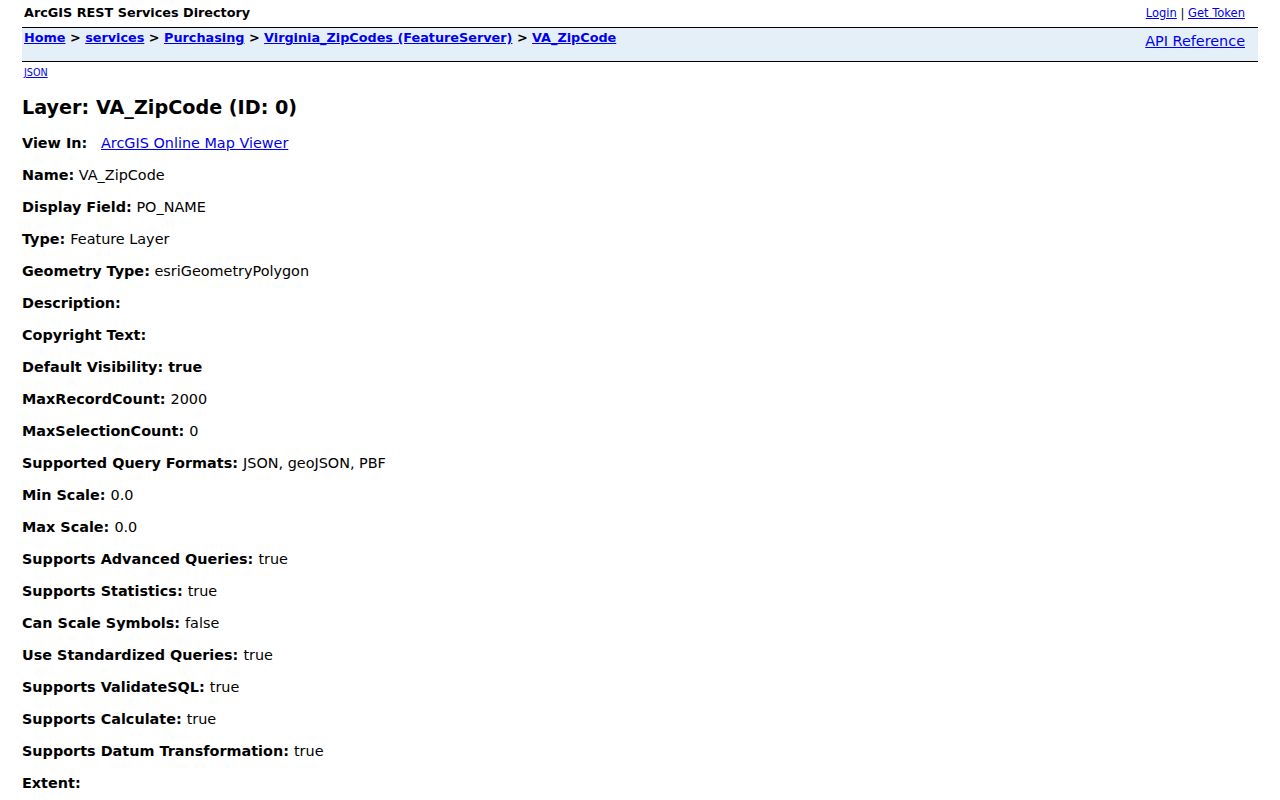
The layer gives a repeatable way to record ZIP geometry and statistics, but it is not the definitive USPS delivery database.
When saving a result, preserve the query URL or parameters, ZIP, postal-name field, state, area, population fields, geometry result, and retrieval date. A City parcel result should separately retain its parcel ID, property ZIP, primary address, map link, and City-boundary result.
Richmond ZIPs and Census ZCTAs
Census ZIP Code Tabulation Areas, called ZCTAs, are generalized statistical approximations. They are not identical to USPS ZIP service areas. Census data can add broad Richmond context, but it should not settle the ZIP for a deliverable Richmond address or the locality of a parcel. Keep the data source labeled as Census geography when it is used alongside a Richmond postal reference.
The Census explanation of ZCTAs illustrates why a statistical area and a postal delivery area should not be treated as the same thing.
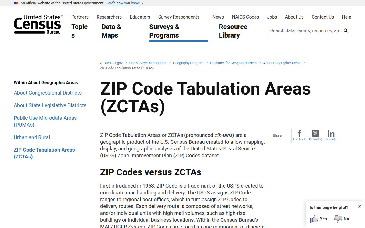
Use a Census ZCTA for clearly labeled aggregate context, then return to USPS and the parcel map for an exact address question.
Richmond City population figures are City statistics, not ZIP totals. The ZIP layer’s population fields also describe geographic features, so they need the same careful label before being compared with a Citywide figure.
Richmond ZIP Special Uses
Not every Richmond postal ZIP represents a normal physical residential area. The research identifies 23218 as state-office, government, and PO-box-oriented downtown Richmond use. Other Richmond postal or special-use codes can include 23232, 23249, 23250, 23260, 23261, 23269, 23273, 23274, 23278, 23279, 23282, 23284 through 23286, 23289 through 23293, 23295, 23297, and 23298. Those codes may identify PO boxes, institutions, government, or preferred-place use.
Keep a special-use code in a separate list unless an official USPS or agency page identifies its function. A special-use ZIP should not be converted into a neighborhood or household claim. That distinction is especially important when reading a government return address, a historical record, or an organization filing.
Note: Verify the final full ZIP list with USPS and the official Virginia geographic layer before treating a code as a delivery area.
Richmond ZIP Boundary Limits
Use separate fields for USPS city, legal locality, parcel jurisdiction, ZIP, and date checked. That method avoids a common Richmond error: assuming a postal label settles a Richmond City records question. If a parcel lies outside Richmond City, route assessment, deed, court, planning, or election questions to the actual county or locality. If an old Richmond source uses Manchester or another historic division, retain that historical term beside the modern jurisdiction rather than replacing one with the other.
- ZIP and ZIP+4
- A five-digit delivery area and its more specific delivery segment for a particular address.
- PO-box ZIP
- A postal code used for post-office boxes or special mail handling, not a geographic household area.
- Unique ZIP
- A postal assignment associated with a particular institution or special recipient, when USPS designates one.
- Carrier route
- A USPS delivery sequence used for mail operations; it is not a legal boundary.
A careful ZIP record inventory includes the USPS result, returned ZIP+4 and date; the Virginia GIS feature and query details; and the parcel’s address, ZIP, map link, and jurisdiction note. Each item answers a different question. Together, they make a Richmond ZIP code directory search traceable without overstating what a postal code can prove.